Exact spot lightning will strike UK today amid danger to life warnings
Yellow weather warnings have been issued in parts of the UK, as the nation switches from blazing hot sunshine to thunderstorms.
Saturday was provisionally the hottest day of the year so far after 32.7C was recorded in Heathrow by the Met Office following days of sweltering heat above 30C. Previously the highest temperature of the year had been set on Thursday, with 32.6C recorded in Wisley, Surrey.
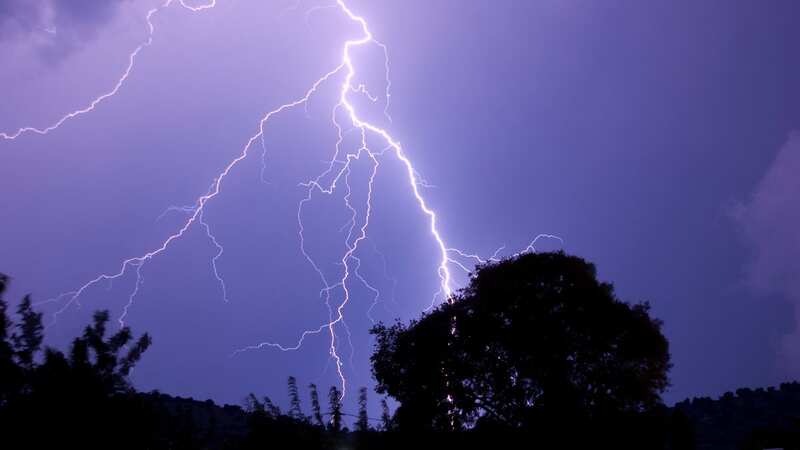
Now, people in Wales, part of the Midlands and the outskirts of Manchester are being told to brace for thunderstorms and lightning strikes. The Met Office also predicts the unsettled weather could travel further north later in the day towards Scotland.
A yellow warning spanning east Wales, Yorkshire, Lincolnshire, Manchester, Nottingham and Oxford is in play until later in the day. Parts of mid and north Wales will see the worst of the storms between 1pm and 7pm tomorrow, according to Ventusky maps.
 A map showing where storms will strike at 4pm tomorrow (Ventusky)
 The forecast for 7pm tomorrow (Ventusky)
The weather warning means some places could experience flash flooding, lightning strikes, hail or strong winds, with possible interruptions to road access and public transport if such circumstances were to occur. The same warning has been issued for Sunday covering Northern Ireland, northern parts of England and Wales as well as southern Scotland until 11.59pm.
 Gales, snow and rain to batter country today with 80mph wind gusts
It is expected the thunderstorms could start at around 2pm and last until midnight, with the weather company warning: "Flooding of homes and businesses could happen quickly, with damage to some buildings from floodwater, lightning strikes, hail or strong winds.
"Where flooding or lightning strikes occur, there is a chance of delays and some cancellations to train and bus service. Spray and sudden flooding could lead to difficult driving conditions and some road closures. Some communities might become cut off if roads flood. Power cuts might occur and other services to some homes and businesses could be lost. Fast flowing or deep floodwater is possible, causing a danger to life."
Environment Agency flood duty manager Chris Wilding warned motorists against driving through floodwaters in the case of flash flooding. He said: "Significant surface water flooding is possible but not expected across parts of England on Saturday afternoon and evening due to isolated intense downpours.
"We urge people not to drive through floodwater - it is often deeper than it looks and just 30cm of flowing water is enough to float your car." Mayor of London Sadiq Khan has issued a "high" air pollution alert for the capital for Saturday, the first since June, and urged Londoners to stop their engines idling and refrain from burning wood or garden waste.
But there is relief from the heat on the horizon, with the UK expected to return to cooler weather next week with a mix of sunshine, showers, and some windy conditions likely as temperatures return towards the average for the time of year.
Read more similar news:
Comments:
comments powered by Disqus