When next heatwave could hit as Britain braces for torrential rain
As Britain braces for torrential rain and gusts of up to 50mph, there could be glimmers of hope for a return to better conditions on the horizon.
Forecasters warned that the UK is set to be a mix of sunshine and showers, with thunderstorms predicted in some regions.
It comes as a soaring heatwave across Europe pushes swathes of low pressure towards the UK.
Weather maps have shown dangerous temperatures could hit much of Southern Europe over the next few days - thanks to a "Cerberus" heatwave.
Temperatures may this week peak at a fierce 45C in parts of Spain, Greece and Italy, and in the latter at least three people have already died due to the heatwave.
 Met Office says UK will be battered by monster rain storm with 4 inches falling
 Parts of southern Europe are seeing dangerously high temperatures (BBC)
While in the UK, weeks of unsettled weather will dominate before a chance of better conditions towards the end of July.
Conditions could begin to look up towards the end of July, however, there are early and potentially changing signs of drier conditions and warmer temperatures ahead.
A spokesperson for Met Office said: "Towards the end of the month, there are tentative signs of slightly drier conditions taking hold, with fewer in the way of showers and longer, drier spells, and consequently it should feel a little warmer too."
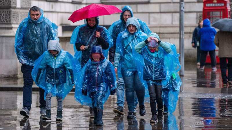
 Britain is bracing for heavy rain and gusts (PA)
But a heatwave is officially described as an extended period of hot weather relative to the expected conditions of the area at that time of year, which may be accompanied by high humidity.
A UK heatwave threshold is met when a location records a period of at least three consecutive days with daily maximum temperatures meeting or exceeding the heatwave temperature threshold. This threshold varies depending upon whereabouts you are in the UK.
 Drier conditions could return to the UK at the end of this month (Amer Ghazzal/REX/Shutterstock)
UK weather forecast
Today:
Rather cloudy but mostly dry at first in the north and east. However, locally heavy rain will move northeast from southwest England accompanied by strong to gale force winds. Showers following from the southwest later. Feeling rather cool for most.
Tonight:
Rain clearing all but the north of Scotland overnight with showers persisting in the west. Drier elsewhere with some clear spells. Remaining windy while staying rather mild.
Saturday:
Rain clearing northern Scotland. Sunny spells and scattered showers elsewhere, the showers heavy with thunder possible, most frequent in the west. Another windy and cool feeling day for most.
Read more similar news:
Comments:
comments powered by Disqus