New snow maps show exactly where and when 10cm will dump
Britain could blanketed in snow in just a matter of days, according to new weather maps.
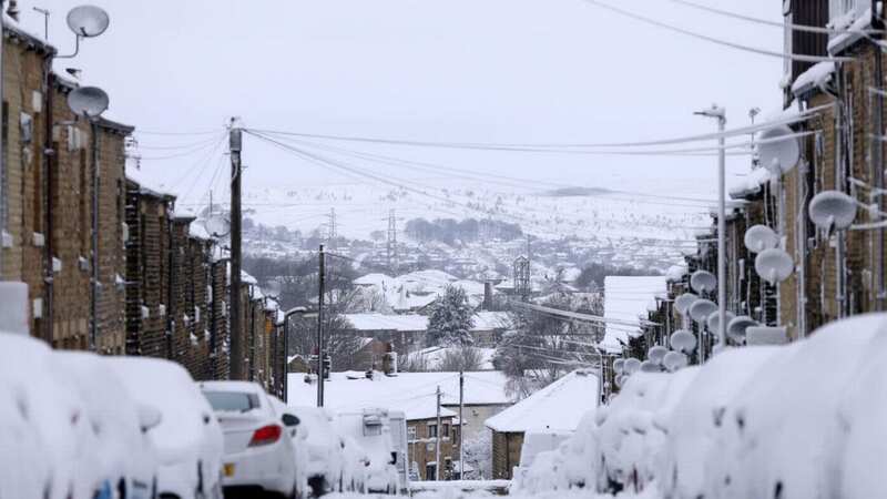
The latest projection models from WXCharts show large accumulations of snow across the UK next Wednesday, March 13.
As much as 10cm (4in) could be on the ground in northern England by midday, while 7cm is likely in some central and northern parts of Scotland.
It comes as a more divided picture begins to develop in different parts of the country for the first part of March, with some areas in the south staying mild while the north begins to see a downward trend in temperatures.
 Snow accumulation map for Wednesday 13 March (WXCHARTS)
Wintry showers will be more likely in these areas, according to the Met Office. Their long-range forecast for Saturday 9 March to Monday 18 March reads: "Rather cloudy across the south and southwest of the UK on Saturday as outbreaks of rain spread northwards. Elsewhere, variable cloud with some showers likely in places. The driest and brightest conditions will probably be in sheltered parts of the northwest. Into Sunday and the start of the following week, rain in the west and southwest will probably clear away westwards, with variable cloud and a few showers elsewhere.
 Gales, snow and rain to batter country today with 80mph wind gusts
"Through the rest of this period, some rain or showers are possible in the south at times, perhaps accompanied by strong winds. Drier and brighter across the north, but with a few wintry showers in places. Temperatures are most likely to be close to normal, but at times mild at times in the south and rather cold in the north."
In the meantime, Tuesday is forecast to be a mixed day with some patchy rain and fog gradually clearing throughout the morning. Temperatures are expected to reach a daytime high of 10C, dropping to lows of around 4-5C by the evening.
A total of 34 'act now' flood warnings remain in place in England late last night following recent heavy rainfall, with 124 less severe flood alerts also issued by the Environment Agency. People in warning areas have been told to "avoid contact with, walking or driving through flood water" and prepare for possible flooding of their properties. Updates on river levels are expected to be issued by the Environment Agency throughout Tuesday.
UK weather forecast:
Tuesday:
Patchy rain clearing from most eastern areas. Elsewhere any fog and frost lifting to leave sunny spells, although some showers across the west, and southeast England. Blustery in the northwest.
Outlook for Wednesday to Friday:
Mostly dry with variable cloud and some sunny spells, although some showers across the west at first, and locally forming elsewhere. Patchy overnight fog and frost. A cold breeze developing.
Read more similar news:
Comments:
comments powered by Disqus