Met Office issues new weather warning as Arctic blast tightens grip on Britain
Another weather warning has been issued after the UK shivered through the coldest night of winter so far - and one of the chilliest January nights in 14 years.
A yellow weather warning for ice is now in place in South West England, covering parts of Cornwall as well as stretching across parts of Wales and into parts of North West England.
The Met Office has put the weather warning in place from 6pm today lasting until 10am tomorrow. It says icy patches may lead to travel disruption, and this could also lead to injuries due to slips and falls on icy surfaces.
This joins a yellow Met Office weather warning in place across parts of Northern Ireland and Scotland as the severe cold snap continues. Parts of northern Scotland are also facing a rare amber warning for snow.
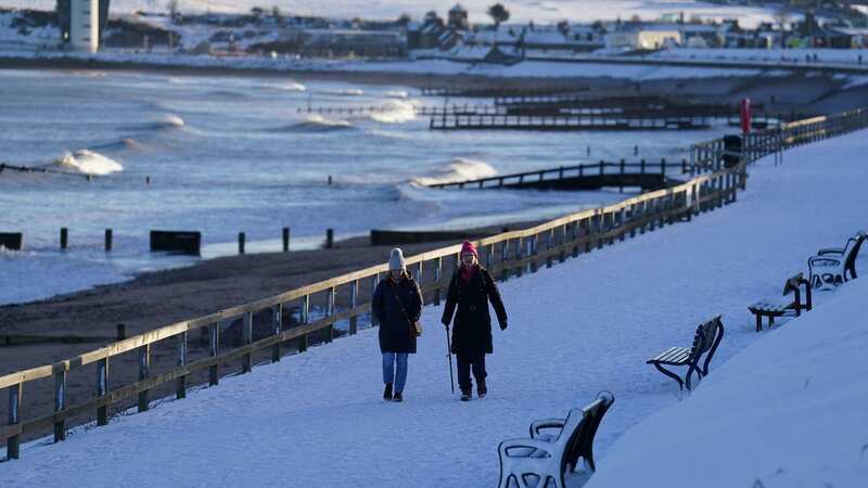
Brits have had to wrap up warm all week as the freezing weather coming in from the Arctic has continued, with snow and ice covering some areas.
 Gales, snow and rain to batter country today with 80mph wind gusts
While no temperatures dropped as low as -14C in Dalwhinnie in the Scottish Highlands on Tuesday, UK temperatures overall made Wednesday the colder night. It dropped to -11.C in Shap, England, -9.4C in Sennybridge, Wales and -7.2 in Katesbridge, Northern Ireland.
 Britain is in the grips of an Arctic blast (PA)
While temperatures are forecast to rise a little on Friday and over the weekend, the wintery weather will set in again next week, especially in the north.
The Met Office said in a statement: “Cold Arctic air remains dominant over the UK, with snow and ice likely to continue ahead of the weekend for many in the northern half of the country, including Scotland, Northern Ireland, parts of northwest and southwest England, and north and west Wales.”
With ice warnings across Scotland and Northern England, and now South West England too, which run into Friday, travel disruption is likely in many parts of the country. The severe weather may also lead to power cuts and, with the snow and ice, rural communities may get cut off.
 There are multiple weather warnings in place around the UK as the cold snap continues (Press Association Images)
Jason Kelly, Met Office chief meteorologist said: “With deep snow already lying on the ground for many in the northern half of the UK, we’re going to see a significant topping up of totals over the next couple of days, especially for those in the north of Scotland.
"Within the Amber warning area, an additional 15-20cm of snow is possible in a few locations. Strengthening northwesterly winds will also cause some lying snow to drift, potentially bringing some additional hazards, such as temporary blizzard conditions.”
On the milder air moving in from tomorrow, a Met Office statement said: “The cold Arctic air currently in place over the UK will start to be displaced from the south from Friday, with a return to milder Atlantic air from the west. However, while temperatures will increase from the markedly low figures of recent days, this change in airmass will also introduce the likelihood of a return to wet and windy weather for most through the weekend," it added.
 The freezing weather is expected to get milder over the weekend (PA)
Met Office deputy chief meteorologist Dan Rudman said: “While the next few days will remain cold, we can see a change in weather type on the way, bringing milder air for the UK and returning temperatures to around average for the time of year from Friday onwards and well above average into next week. This change will initially be relatively benign in terms of weather impacts, with a dry Friday and start to Saturday for many in the south of the UK.”
"The Atlantic influence will then introduce some wet and windy weather, with a deep area of low pressure approaching from the west on Sunday. While detail is still being worked out, this has the potential to bring heavy rain and strong winds for some, and we’ve issued an early warning for a large part of the UK.”
Read more similar news:
Comments:
comments powered by Disqus