Exact date 650-mile-wide snow wall will hit and spark Christmas chaos
Brand new weather maps show the build up to Christmas dominated by a 650-mile wide storm bringing snow and rain.
Brits are bracing for some challenging conditions during the festive period, even though forecasters expect the weather to warm up in the days ahead. But by the end of next week the temperature could be about to drop again, with December 20 and 21 seeing the start of an icy plunge.
For some, the chance of snow extends to Christmas Day as modelling maps from WX Charts show a freezing weather front moving across the country from the west. Data outlines a huge dominant streak of purple on its latest maps and a recent forecast from NetWeather says an “Icelandic low” could be sweeping in to cover parts of the UK and it could impact Northern Ireland, Scotland, Wales, the north of England and the Midlands.
 The purple streak suggests some snow may be coming (WX Charts)
The Met Office, however, think things could be more settled and have poured warm water over the prospect of a White Christmas. Flurries look to be most severe over higher ground in Wales, Northern Ireland and Scotland. WX Charts' data suggests snow could be falling at a rate of around 5cm per hour in some parts. Rain is expected to follow the snow and will also impact regions further south. Areas of reddish orange on the maps indicate rain falling at a rate of around 5mm per hour.
Most of the snow would have subsided by around 6pm on Christmas Day, only persisting in the north of Scotland. WX Charts' data suggests as much as 32cm could settle on the ground in the Scottish Highlands. In the north of England there will be around 5cm to 6cm.
 Gales, snow and rain to batter country today with 80mph wind gusts
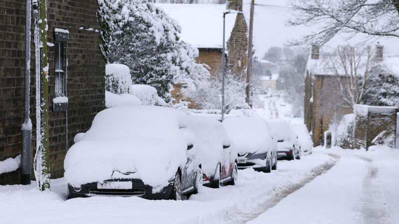
 It could turn very wintery for some in the weeks ahead (Getty Images)
The Met Office's Chief Forecaster Paul Gundersen said earlier this week that winds could switch "to more of a northwesterly direction" in the run up to December 25, creating a "risk of some wintry showers developing".
NetWeather warn that an “Icelandic low” could be sweeping in to cover parts of the UK. They are predicting an “unsettled” festive period, with the weather changing all the time. The last widespread White Christmas was recorded back in 2010 and one isn't expected 13 years on.
A spokesperson said: “The weather is expected to turn more unsettled during this period with a mainly westerly flow, and the Icelandic low displaced to the east of its normal position with lowest pressure generally between Iceland and Scandinavia. While a widespread white Christmas is currently looking unlikely, there is potential for northern parts to have some snow on Christmas Day if Christmas Day coincides with one of the colder north-westerly outbreaks.”
Read more similar news:
Comments:
comments powered by Disqus