Wet weather warnings issued across UK as 'thundery downpours' cause disruption
People have been urged to brace themselves for extreme wet weather as some parts of England and Scotland could be hit with up to 40 millimetres of rain.
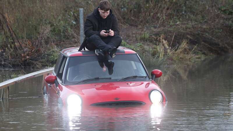
The Met Office stressed there might be some travel disruption and power cuts due flooding in some areas. It comes after Storm Elin and Storm Fergus brutally hit parts of the country on the weekend, causing severe flooding and strong 70mph winds.
Now, forecasters have issued a yellow warning for rain in southeast Scotland and northeast England from 9am until 8am on Wednesday. The Met Office also said there could potentially be "thundery downpours in the southern half of the UK" on Tuesday.
 A driver was trapped in almost 3ft of flood water in Essex on Tuesday (Stephen Huntley/HVC)
The Environment Agency earlier issued 42 flood warnings in England, alongside 157 other flood alerts. However, later in the week temperatures are expected to become "unseasonally warm." Met Office spokesperson Oliver Claydon told The Mirror: "We do have one last rain warning that's in force at the moment. So that covers southeastern parts of Scotland and down into northeastern parts of England as well. That started at nine o'clock this morning. It runs all the way through to eight o'clock tomorrow morning. And that is from rain moving through the day and overnight, which could cause some disruption due to its persistence. So we could see 10 to 20 millimetres of rain through the period in some locations. Particularly the high ground could see 30 to 40 millimetres possibly, which could lead to some flooding."
 Met Office issued a yellow warning for rain (Met Office)
He added: "But generally speaking on the wider state of affairs is an improving picture. We have got this rain moving through, particularly northern regions today and overnight tonight. With some heavy potentially thundery downpours in the southern half of the UK through today as well. But as we move into tomorrow, the conditions across the UK becoming more settled. And indeed as we move towards the end of the week, even more settled weather. And actually, temperatures becoming unseasonably warm by the time we get to the weekend."
 Gales, snow and rain to batter country today with 80mph wind gusts
 Vehicles struggled to get through water in Welney (Paul Marriott)
Met Office meteorologist Annie Shuttleworth earlier said: "After a pretty nice start to the week, things will turn much more unsettled across the UK for Tuesday. Rain pushes up into northeastern areas throughout (Tuesday) morning and then it will linger across northeastern parts of England as well as southeastern Scotland. There's been a lot of rainfall here recently, so the ground is well saturated. Behind that, plenty of showers are developing. These will push into parts of the Midlands by the middle part of the day and without much of a breeze they could be quite long-lasting showers. They bring a risk of hail and thunder as well. So a bit of an unsettled, unpleasant day for many, particularly if you get caught in those showers."
Read more similar news:
Comments:
comments powered by Disqus