Parts of UK see frost as temperatures plummet ahead of promised 'mini heatwave'
Temperatures are set to plummet as weather forecasters warn of frost across some parts of the UK tonight, but a cold start for the weekend will lead to a fine Saturday for most.
Following a heatwave at the start of September, Friday night is expected to turn colder as temperatures are set to drop to 2°c in some areas in the east of Scotland. As weather forecasters explain, a band of low pressure has been moving in since Thursday, bringing with it colder conditions. This is expected to ease on Saturday but is followed by heavy rain that is forecasted to batter Edinburgh on Sunday, September 24.
In Ireland a storm with a very familiar name currently hurling its way through the US could hit Ireland in the next few days driving temperatures below zero according to one weather expert. Storm Ophelia battered Ireland a few years ago and could be on its way back with a bang in a second coming of sorts as things take a very drastic turn. Weather Alerts Ireland - who were among the first to predict several major storms in previous years like Storm Ophelia 1.0 and the Beast from The East - has warned "it is very different to the Ophelia we had before".
They said: "Ophelia 2.0? So this storm we posted about this morning has been named by the NOAA in America...the name is Could it be that Ophelia returns to Ireland again? This Ophelia is very different to the Ophelia we had before but its strange that is has the same name! The ICON model is also forecasting this strong system to impact Ireland. We will keep you up to date with the latest on this system which could impact Ireland around Wednesday."
They added: "First frost of the autumn season possible tomorrow night into Saturday! Gardeners beware! Temperatures are expected to drop right down with some local spots possible dropping as low as - 1? or 0 degrees C."
 Gales, snow and rain to batter country today with 80mph wind gusts
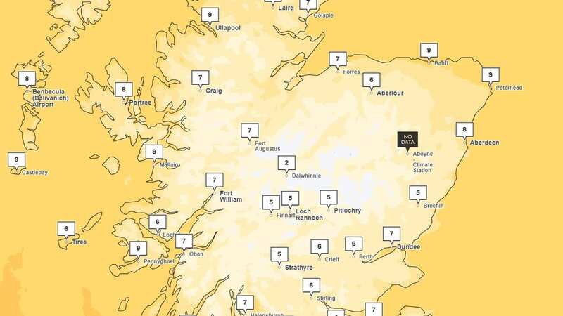
 Scotland could hit 2c tonight (metoffice)
How the rest of the UK looks for the weekend:
North East England
Tonight:
Showers gradually dying away, leaving a drier and clearer second half of the night. A touch of grass frost is possible in prone rural spots as winds fall light. Minimum temperature 1 °C.
Saturday:
A fine day after a chilly start, with sunny spells and mainly light winds. On the cool side, but feeling pleasant in the sunshine. Maximum temperature 16 °C.
Sunday to Tuesday:
Windy with periods of heavy rain on Sunday and perhaps early Monday, with sunny spells and blustery sharp showers then following. Further more persistent rain arriving Tuesday. Overnight frosts unlikely.
North West
Tonight:
A few showers continuing into this evening, mainly in Merseyside. Most areas becoming dry overnight with clear periods. Winds easing, inland and turning chilly, with patchy frost in prone locations. Minimum temperature 4 °C.
Saturday:
After a chilly start, it will be a bright morning with sunny periods. Probably turning cloudier through the afternoon but staying mostly bright with sunny intervals. Light winds. Maximum temperature 16 °C.
 Tips to stop windscreen freezing and prevent blades from sticking to window
Outlook for Sunday to Tuesday:
Windy on Sunday with rain, heavy at times and winds close to gale force on coasts. Less windy on Monday and brighter. Sunshine and showers on Tuesday. Turning warmer.
Yorkshire and Humber
Tonight:
Showers gradually dying away, leaving a drier and clearer second half of the night. A touch of grass frost is possible in prone rural spots as winds fall light. Minimum temperature 2 °C.
Saturday:
A fine day after a chilly start, with cloud breaking up to reveal sunny spells. On the cool side, but feeling pleasant in the sunshine, with mainly light winds. Maximum temperature 17 °C.
Outlook for Sunday to Tuesday:
Windy with periods of rain on Sunday and perhaps early Monday, with sunny spells and blustery sharp showers then following. Further more persistent rain arriving Tuesday. Overnight frosts unlikely.
East Midlands
Tonight:
Showers gradually dying away, leaving a drier and clearer second half of the night. Becoming chilly in prone rural spots as winds fall light generally. Minimum temperature 4 °C.
Saturday:
A mainly fine day after a chilly start, with cloud and perhaps the odd light shower clearing to reveal some sunny spells. On the cool side, with mainly light winds. Maximum temperature 17 °C.
Outlook for Sunday to Tuesday:
Windy and rather cloudy on Sunday with a little rain possible. Rain for a time Monday, but brighter later. Cloudier Tuesday, with strengthening winds. Near-normal temperatures.
West Midlands
Tonight:
Isolated showers possible at first, but becoming dry overnight with clear periods. Winds easing and turning chilly, with a few pockets of grass frost possible in prone locations. Minimum temperature 6 °C.
Saturday:
After a chilly start, it will be a bright morning with sunny periods. Probably turning cloudier through the afternoon but staying mostly bright with sunny intervals. Light winds. Maximum temperature 17 °C.
Outlook for Sunday to Tuesday:
Rather windy on Sunday, perhaps with some rain at times. Less windy on Monday with sunny spells and feeling warmer. Sunshine and heavy showers on Tuesday.
East of England
Tonight:
Showers gradually dying away, leaving a drier and clearer second half of the night. A few mist patches are perhaps possible later in the night as winds fall light. Minimum temperature 7 °C.
Saturday:
A mainly fine day after a chilly start, with cloud and a few showers gradually clearing to reveal some sunny spells. On the cool side, with mainly light winds. Maximum temperature 18 °C.
Outlook for Sunday to Tuesday:
Mainly dry, but breezy and rather cloudy on Sunday. Rain for a time Monday, but brighter later. Cloudier Tuesday, with strengthening winds. Near-normal temperatures.
London and the South East
Tonight:
Showers dying away to leave a fine night with clear periods. Temperatures dipping under clearing skies to give a chilly night with the odd rural fog patch. Minimum temperature 6 °C.
Saturday:
Fine with sunny spells and mainly light winds after a chilly start. Perhaps clouding over in the west later. On the cool side, but feeling pleasant in the sunshine. Maximum temperature 19 °C.
Outlook for Sunday to Tuesday:
Mainly dry, but breezy and rather cloudy on Sunday. Rain for a time Monday, but brighter later. Cloudier Tuesday, with strengthening winds. Near-normal temperatures.
South West England
Tonight:
A few showers continuing into this evening, but becoming dry overnight with clear periods. Winds easing and turning chilly, with a few pockets of grass frost possible in prone locations. Minimum temperature 5 °C.
Saturday:
After a chilly start, it will be a bright morning with sunny periods. Probably turning cloudier through the afternoon but skies staying mostly bright. Freshening southerly winds by the evening. Maximum temperature 17 °C.
Outlook for Sunday to Tuesday:
Windy on Sunday, perhaps with coastal gales and some rain in the west. Less windy on Monday with sunny spells. Sunshine and heavy showers on Tuesday. Turning warmer.
Wales
Tonight:
Isolated showers continuing into this evening, but becoming dry overnight with clear periods. Winds easing and turning chilly inland, with a few pockets of grass frost possible in prone locations. Minimum temperature 6 °C.
Saturday:
After a chilly start, it will be a bright morning with sunny periods. Probably turning cloudier through the afternoon but skies staying mostly bright. Freshening southerly winds by the evening. Maximum temperature 17 °C.
Outlook for Sunday to Tuesday:
Windy on Sunday with rain, heavy at times and winds close to gale force on coasts. Less windy on Monday and brighter. Sunshine and showers on Tuesday. Turning warmer.
Read more similar news:
Comments:
comments powered by Disqus