Monster 60mph winds head for UK as destructive weather sees temperatures plunge
Maps show a destructive weather front is on its way towards the UK - with it will come gales of more than 60mph - as temperatures plunge.
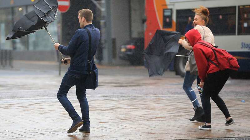
Forecasters have created the graphics after assessing an area of low pressure looming across the Atlantic and drifting in - at pace - towards the UK. It'll be at its most destructive on Saturday, it is feared, when some places, notably Northern Ireland and west Wales, could potentially experience impish winds of around 60-64mph.
The section of the map with the tightest isobars - the black lines forming circles of different sizes - shows where the wind speeds will be at the greatest. The red shades and light purple hue highlight specific figures forecasters expect - the latter being between 55mph and 64mph. Most of the east coast of Scotland and England is marked in a large red patch too.
 Weather maps show a low pressure moving towards the UK (wxcharts)
But the direction this particular low band of pressure will exactly take after skimming western UK remains unclear at this stage. Forecasters will have an indication of this later in the week. Met Office does say, though, it will remain windy for most of the week. Writing online, it says Brits can expect "sunshine and scattered showers, heavy and thundery at times" through until Saturday. "Remaining blustery, especially along the coasts and feeling cool," it adds.
Nick Finnis, forecaster for Netweather, writes on its blog: "The post-tropical low will also bring windy conditions for rest of the week, with gales developing in the west and northwest as post-tropical storm Lee arrives to the northwest on Wednesday. Autumn certainly make itself felt this week."
 Gales, snow and rain to batter country today with 80mph wind gusts
 People watch as waves crashes over Newhaven lighthouse in East Sussex (PA)
Strong winds have already battered part of the south coast and a sudden change in wind direction on Sunday night caused what was thought to have been a small-scale tornado in West Sussex. Met Office told Mirror said evidence indicates one happened just before midnight, but the service is yet to confirm it was a tornado.
Addressing this movement, Mr Finnis said: "There was also potentially a tornado in Littlehampton, eye witnesses reported strong winds developed around 11:30pm that caused damage that bears the hallmarks of a tornado circulation. Indeed, the rainfall radar around then suggests a large ‘bow echo’ signature along with a possible ‘hook’ which suggests a possible mesocyclone that can be associated with a tornado."
As wind speeds increase, temperatures will fall. By Friday, the mercury will struggle to hit the mid-teens in most places. This is average for the time of year, however, as the start of the month has been balmy. It should be around 13C in Belfast on Thursday and Friday as the low pressure looms in the west. Manchester will struggle to reach 14C and, even in London, 15C is on the cards during an unsettled and showery Sunday.
Read more similar news:
Comments:
comments powered by Disqus