Where will be hottest today as thunderstorms warnings issued amid heatwave
Brits will continues to bake in over 30C heat for a seventh consecutive day as other parts of the UK brace for thunderstorms, strong winds and potential flooding
A weather warning has been issued by the Met Office as nearly all of Northern Ireland, areas of northern England and Wales, and parts of southern Scotland were all put on alert. Up to two inches of rain could fall in under two hours, people are warned, with forecasters saying "large hail and lightning are likely additional hazards".
Some could also be in store for flash flooding and powerful winds, with possible road access problems and potential public transport issues. The weather warning has been put in place from 2pm until 11.59pm today, meaning it won't all be sunshine and clear skies. Warnings of thunderstorm affecting Dumfries, Galloway, Lothian & Borders, Grampian as well as Central, Tayside & Fife are issued.
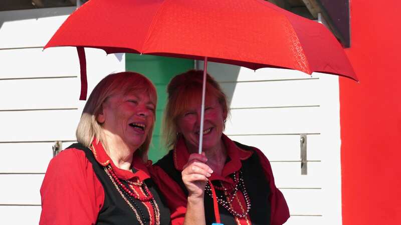
 Umbrellas may be needed for very different reasons across the UK (Geoffrey Swaine/REX/Shutterstock)
For the rest, the searing heat carries on, but with a little more cloud cover possible. Things will again be very hot in England's south east, with London seeing temperatures of over 30C for the seventh day running. The mercury could even touch 33C with Brits having already sweltered through six unseasonably warm September days.
An amber heat-health warning issued by the UK Health Security Agency is in effect for nearly every area of England until 9pm tonight. The UK saw the hottest day of the year announced on Saturday, with 32.7C recorded at Heathrow. The previous record was set on Thursday with Wisley, Surrey hitting 32.6C
 Gales, snow and rain to batter country today with 80mph wind gusts
The latest Met Office forecast read: "Cloudy with outbreaks of rain or drizzle in the far north. Elsewhere, patchy cloudy and sunny spells for many with thunderstorms developing and moving northeastwards. Still very warm or hot, particularly in southeast, but turning fresher from the northwest.
"Tonight, thunderstorms clearing slowly northeastwards. Outbreaks of rain spreading southeast from northwest Scotland and Northern Ireland. Drier elsewhere with clear spells. Remaining warm and humid away from northwest." It went on to read on Monday: "Rain and showers continue to clear southeastwards with fresher conditions behind.
"Mostly dry elsewhere with sunny spells although further showers later. Cooler for most away from the far southeast." It will be "cooler for all by Wednesday with some sunshine, although further rain later and into Thursday", the forecast concluded.
We have some way to go to beat this month's record. September’s highest daily temperature reading was 35.6C recorded on September 2, 1906 in South Yorkshire, according to the Met Office. But this heatwave has already broken the record for the most consecutive days with temperatures above 30C in September, with Saharan dust generating vivid sunsets and sunrises in the clear conditions. Thursday was the fourth day above 30C, beating the record of three days seen on four previous occasions, most recently in 2016.
Met Office meteorologist Simon Partridge said: “If we do see 30C all the way through until Sunday, which it looks fairly sure it will be, that will be six days in a row that we have reached 30C. Previously in September we’ve only reached 30C three days in a row. So although it’s not the the hottest spell of weather we’ve had in September, in terms of prolonged hot weather it is twice as long as we have previously had.”
Read more similar news:
Comments:
comments powered by Disqus


