Met Office's verdict on heatwave and warns UK will struggle to reach 20C
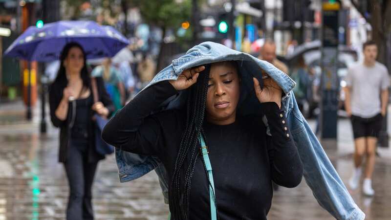
Temperatures will struggle to exceed 20C for large swathes of the country this weekend as blustery winds pound the UK. The Met Office anticipates another largely wet and windy weekend as a low pressure sends successive bands of rain across the nation from the west.
Temperatures typically linger around 23 or 24C in late July on average, but the mercury will suffer in the coming days due to the gusts. It'll be just 16C in parts of Northern Ireland on the weekend, Netweather told the Mirror today.
Coastal regions in northwest England won't be much warmer either this weekend.
 The Met Office has predicted more rain is to come (Met Office)
Tom Morgan, meteorologist with the Met Office, told the Mirror: "It is not going to be a typical summer weekend. Downpours are expected in many areas, not as severe as last weekend, but still not what you expect in late July.
"It won't be a washout but it'll be breezy. Anywhere is at risk of seeing thunderstorms. Northern areas are at particular risk of thunderstorms and there might be localised impacts. Higher regions are also at risk. There are no weather warnings in place as yet but the situation is being monitored."
 Gales, snow and rain to batter country today with 80mph wind gusts
It'll be showery in the south of England and south of Wales on Saturday, a band of rain expected to move northwards and gather momentum by Sunday. Between 20 and 30mm of rain could fall in the worst-affected areas on Sunday, which are thought to be parts of the northwest.
 The Met Office's weather map shows wet conditions for those in South West England (Met Office)
Temperatures will largely struggle at around 18 to 21C all weekend, forecasters say. It'll be warmest on Saturday in East Anglia but even then, the mercury will only reach 24C - average for this time of the year. Mr Morgan says temperatures are unlikely to reach or exceed 25C for at least the next week - taking us into August under a cloud of gloom.
Jo Farrow, of Netweather, stressed conditions in the west of England, most of Wales and Northern Ireland will be blustery on Saturday, unseasonal for late July.
Ms Farrow said: "Low pressure will bring with it heavy rain on Sunday for south Scotland and the northern tip of England. That could be quite miserable miserable weather but then it clears.
"It'll be changeable. It is just not reliable. If you are going out for the day, you just don't know what to expect."
This month is a far cry to last year's balmy July, during which the UK saw temperatures reach the 40s for the first time on record. Unless greenhouse gas emissions are controlled, though, the Met Office has said the UK can expect similar summers.
Repeated and intense heatwaves, grassfires, summer droughts, downpours and rising sea levels will increase in frequency and severity, fear forecasters.
The new Met Office State Of The UK Climate 2022 report showing how the country is becoming hotter and wetter than in the 20th century.
The report's findings include:
- 2022 was the warmest year on record in the UK, being 0.9C above the 1991-2020 average. It was also the first year when the annual mean temperature exceeded 10C.
- 40.3C, recorded at Coningsby, Lincolnshire, on July 19, was the highest temperature ever recorded in the UK.
- Winter, spring, summer and autumn in 2022 all ranked among the top 10 warmest seasons since 1884.
- All the top 10 warmest years for the UK since 1884 have all occurred in the 21st century.
- The last decade (2013-2022) was 0.3C warmer than the 1991-2020 average and 1.1C warmer than 1961-1990. It is the warmest 10-year period on record since 1659.
- Also in that decade there were 4-7% fewer days of air and ground frost than the 1991-2020 average and 15-23% fewer than 1961-1990.
- 2022 was also the warmest year since 1870 for sea surface temperature.
- Sea levels around the UK have risen by around 18.5cm since the 1900s, 11.4cm of which occurred in the last 30 years. The rate of sea level rise has doubled compared with the 20th century.
- A warm February meant flowers and insects emerged one-10 days earlier than the 1999-2020/21 average.
- Throughout the year, leaves stayed on trees seven-16 days longer than the 1999-2021 average because of warmer seasons either side of summer.
- Rainfall across 2022 was 94% of the 1991-2020 average.
- Five of the 10 wettest years for the UK since 1836 have occurred in the 21st century.
- Between 2013-2022, UK winters were 10 per cent wetter than the 1991-2020 average and 25 per cent wetter than 1961-1990.
Read more similar news:
Comments:
comments powered by Disqus