Snow to strike in hours as temperatures plummet to -10C amid Arctic blast
Snow could strike parts of the UK in a matter of hours with temperatures set to plummet to -10C, the Met Office has warned.
The Midlands and northern England are likely to be hit by a wall of snow on Thursday as the mercury drops amid a fresh cold snap - but wintry showers could strike sooner than predicted. A yellow snow warning was issued this morning, covering 24 hours up to 3am on Friday.
However, parts of northern Scotland are likely to see snow as early as this evening. Before that, western Scotland is being battered by torrential downpours throughout much of the day, with a yellow rain warning in place until 9pm. That band will then spread to England and Wales tomorrow. The Scottish Environment Protection Agency (SEPA) has issued 20 flood warnings and 10 alerts.
The Met Office is forecasting up to 170mm of rain in parts of Argyll, Lochaber and Wester Ross. Then in south east England, including London, there's 63 hours of non-stop showers, beginning at 3am on Wednesday.
It comes after temperatures fell to a low of -1.1C overnight in Shetland, though in stark contrast Pershore in Worcestershire recorded 14.9C. Weather charts show the highest temperature today will reach 13C in the south of England, with lows of freezing in rural Scotland.
 Gales, snow and rain to batter country today with 80mph wind gusts
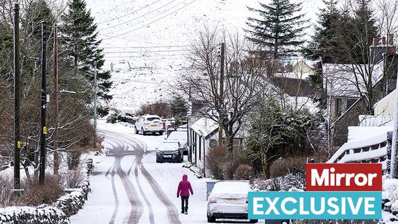
 Strike is set to strike tonight in northern Scotland (PA)
Met Office spokesperson Andrea Bishop told the Mirror: "We’re seeing a very wet day in western Scotland today and snow in the very north in the evening. It's looking mild and wet everywhere else, with colder temperatures in the north. Rain again in Scotland and across England and Wales tomorrow. Wet and colder into Thursday when that front starts moving and meets colder air bringing that possibility of further snow."
The national weather agency's charts are forecasting temperatures to drop to -10C in rural parts of Scotland on Wednesday night - though it will remain milder further south. Referring to the upcoming snow warning, Ms Bishop said: "It's covering quite a large area from Birmingham to Manchester, then up throughout the North."
 Weather charts show the wintry showers striking in the North (WXCHARTS)
In terms of how long the cold snap is expected to last, she said the full details of how severe the snow is likely to be are not clear, and neither is the weather beyond 3pm on Friday. Asked how common it is for the weather to be so up and down in mid-winter, Ms Bishop said: "I don’t think anyone is surprised to see snow in February."
Referring to last month, which saw the coldest overnight January temperatures since 2019, as well as the record breaking 19.6C on January 28, she said: "There's been a lot of contrast but the averages were pretty standard...then when you delve into February, it's been quite contrasting again but not unusual." Asked about reports suggesting a "wall of snow" striking in southern England later this month, Ms Bishop said it is too early to tell with any certainty.
Read more similar news:
Comments:
comments powered by Disqus