04 February 2024 , 18:54
854
0
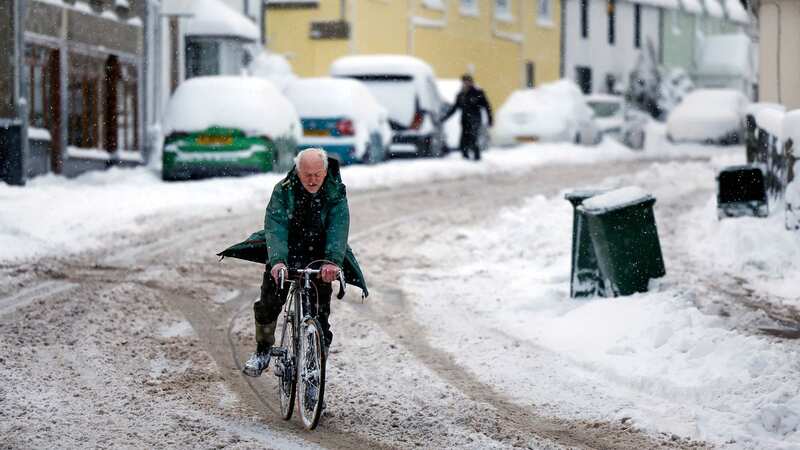
The Met Office have warned that 'significant and disruptive' wintry weather is expected to hit the UK in the days ahead.
Chilly cold air will sweep in from the north as the week goes on, according to the forecaster - setting up a "battleground" of colliding weather fronts that heightens the risk of snow. While southern and central areas of the UK will stay mild at the start of the week, as much as 10-15cm of snow is likely in northern Scotland - before spreading across the rest of the country.
Tom Morgan, Met Office Operational Meteorologist, told the Mirror: "As we go through into Tuesday and Wednesday, we start to see a cold front moving down from the north. At this stage, it's still fairly mild in the south. Towards Thursday and Friday, there will be a 'battleground' scenario set up across the UK.
"We'll see milder conditions trying to return northwards, and colder air still in north and central parts of the UK. Along that boundary we'll see probably some significant and disruptive snow."
While Tom said it's still too early to know exactly where this snow will fall by the end of the week, current projections show that the north of England, Scotland and Northern Ireland will be the worst affected. He added: "At this stage, there's still some uncertainty as to where that boundary will be. It looks like northern England, the Pennine regions are most prone to seeing the heaviest snow - possibly southern Scotland and Northern Ireland as well.
 Gales, snow and rain to batter country today with 80mph wind gusts
"More generally, it's central parts of Britain through Thursday that are likely to see the wintriest weather. For the exact areas, it's a little bit early for details on that and that's why we haven't got any weather warnings in place."
It comes after other forecasters warned of a 500-mile 'wall of snow' turning maps purple. Maps from WXCharts showed subzero temperatures and heavy snow over a large area in the north of the UK with up to 25 centimetres projected on February 8. A map for 12pm next Wednesday shows the cold air moving in from the west bringing light flurries of snow to Scotland and northern England, along with a heavier amount in the far north and west of Scotland.
By around 6pm the snow will have become heavier, bringing several centimetres of the white stuff per hour across most of Scotland and northern England. The worst affected area appears to be south of Edinburgh where around 25 centimetres could fall.