Met Office issues urgent winter weather alert as 283-mile blizzard to strike UK
The Met Office has sounded an urgent weather alarm as Brits brace for a 283-mile blizzard before potential -10 temperatures.
The alert has been issued as a plume of Arctic air will bring snow and spark sub-zero conditions in the coming days with the mercury projected to tumble. The forecast has prompted the UK Health Security Agency to announce an amber level cold-health warning and now the weather office has followed suit.
A warning for snow and icy weather across parts of Scotland, north west England, parts of Wales and the Midlands has been issued. The alert comes into effect on Wednesday at 12.00am and lasts until 11.59pm on Thursday, the Met Office has announced. A blizzard could hit Britain at the beginning of a freezing week already packed full of bleak warnings. The predicted snow storm could be brought about by a block of Arctic air sweeping in from the north which will spark a brutal blast with a combination of gale-force winds and heavy snow causing havoc.
New weather charts show a deep blanket of snow lasting for up to ten days in certain areas. The Met Office say that disruption is likely, as the blanket of snow - expected to be as thick as 20cm in some areas next week - covers many parts on Britain. Some roads and railways will be impacted by the snow, they said.
They warn that power cuts could also occur, with poor mobile phones signal and there is a “slight chance that some rural communities could become cut off”. Travellers are told to be aware that some roads covered in snow could lead to vehicles and passengers becoming stranded.
 Gales, snow and rain to batter country today with 80mph wind gusts
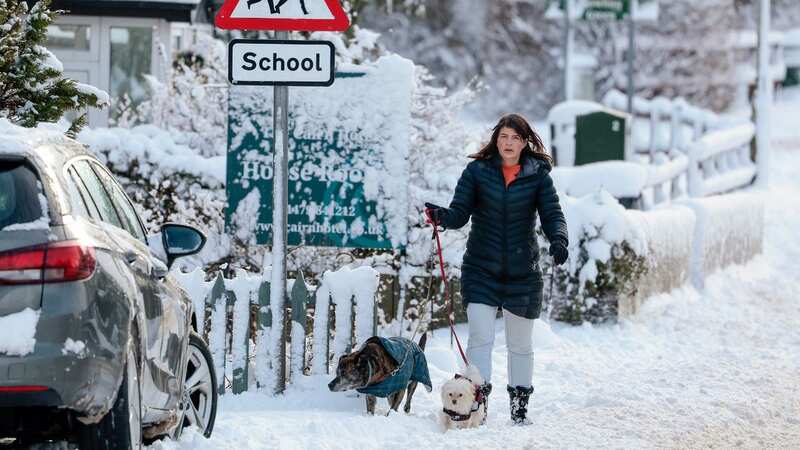
 It comes into effect on Wednesday night and lasts until 11.59pm on Thursday (Getty Images)
In its latest update, the Met Office said: “The heaviest and most frequent snow showers will be across northern Scotland during Wednesday morning, before developing across parts of southwest Scotland, Northern Ireland, northwest England and Wales later in the day.
“Snow showers are likely to continue during Wednesday night and well into Thursday. Whilst accumulations will vary due to the nature of showers, 2-5 cm of snow is expected in many places. Where showers become more organised, there is a chance some low-lying areas could see 10 cm in a few hours. Across northern Scotland over 20 cm of snow could build up in a few locations.”.
Senior operating meteorologist Marco Petagna says it will be more bitter than some places with even the most coldest of climates. He told The Mirror: "It seems -10C looks quite feasible across some northern areas, it just depends, when we get snow lying potentially temperatures could dip lower than that. Certainly minimums of around about -10C in the week ahead but potentially it could get lower than that in some snow covered hills in the north.
Read more similar news:
Comments:
comments powered by Disqus