Met Office verdict on 'snow showers' hitting England by end of November
Forecasters have given their verdict on 'snow showers' that could hit England in days.
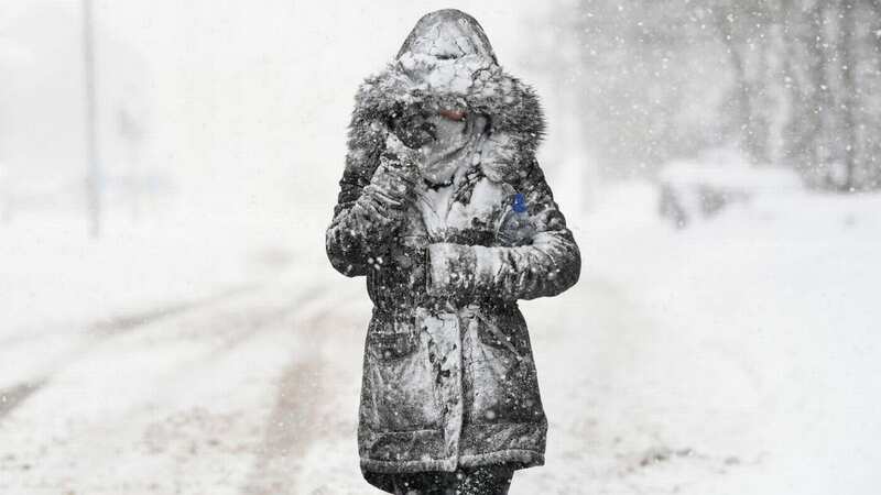
A sharp plunge in temperatures is set to be felt across the UK on Friday because of cold air from the Arctic bringing with it a new phase of colder conditions. It is then expected to stay cold throughout the weekend and beyond, with the mercury dropping as low as -7C in some northern areas overnight on Saturday.
Snow is also set to fall in Scotland, but it is unclear how far south this will move. Speaking earlier Met Office meteorologist Aidan McGivern said: "By the end of the week we are going to see cold winds arrive from the north. It's going to feel colder this week and there will be some snow showers over, mainly, hills of northern Scotland. But elsewhere, with high pressure in place, it is going to be mostly dry on Friday and into the start of the weekend."
 Weather maps for early December show cold conditions across the country (WXcharts)
In a fresh update Met Office Spokesperson Oliver Claydon told The Mirror: “We are expecting some snow in Shetland and over the Scottish hills through today and tomorrow, this is as you’d expect for the time of year. In Shetland there could be small temporary accumulations of 1cm. Accumulations could reach 2-3cm over the tops of the mountains in northern Scotland.
"Temperatures will fall through the day today and into tomorrow, highs of 6C in Shetland and N Scotland today with a frost of -4C tonight. Highs of just 2C in places like Aviemore tomorrow and 5C in Shetland. Overnight lows of -7C overnight into Saturday and also Saturday night into Sunday. Saturday daytime temps of 4-5C in Shetland and Northern Scotland.”
 Gales, snow and rain to batter country today with 80mph wind gusts
They added: “Elsewhere in the UK it will remain predominantly dry for the next few days with any showers along the east coast falling as rain. Rain will move into the UK from the west on Sunday and into Monday before turning drier again. In terms of looking further ahead than the immediate forecast period.
"There is often a fine line between who sees snow and who sees rain. Sometimes just a fraction of a degree Celsius change in temperature can make the difference between rain or snow falling, making forecasting snow weeks in advance extremely difficult.”
UK weather forecast
Today:
Becoming largely dry with cloud lingering across the south and west well into the afternoon. Elsewhere, sunny spells developing. Showers, some wintry, continue in the north and east. Feeling colder for all.
Tonight:
Light winds and clear spells for all will allow temperatures to quickly fall away, leading to a cold night for all areas with a widespread frost.
Saturday:
After a cold frosty start, it will be a mainly dry day with light winds and plenty of sunny spells. Isolated showers along eastern coasts. A cold feeling day.
Read more similar news:
Comments:
comments powered by Disqus