Met Office weighs in on weather maps showing 11 dates forecasting snow
The Met Office has spoken out following reports by a rival forecaster that snow will fall in Britain for 11 consecutive days.
Weather maps issued by WXCharts show somewhere in the UK will experience snowfall from Saturday November 25 until Tuesday December 5. It was claimed up to 50cm of snow will fall on the heaviest day - Saturday December 2 - across Scottish Highlands.
But now the Met Office, the UK's national weather service, has updated its medium to long-range forecasts on its website and predicts a different picture to its fellow forecasters. While it anticipates "wintry showers" soon, these won't be as frequent as first thought, it stresses.
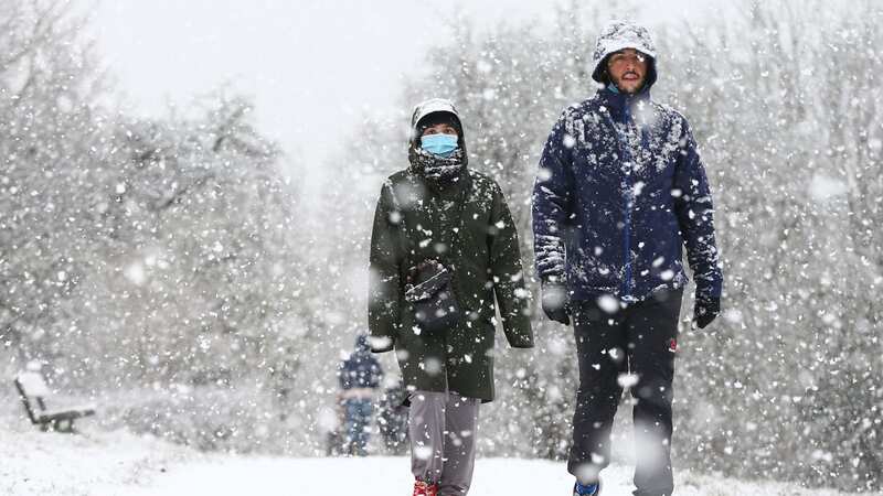
 Parts of the country will endure icy conditions as a northerly wind sweeps across the UK (Getty Images)
The Met Office says the first wintry showers could arrive as soon as tomorrow and may remain on Saturday this week. However, its section concerning Sunday November 26 to Tuesday December 5 reads: "Fairly settled with colder air in place across much of the UK initially, with any remaining light showers probably just confined to the North Sea coastline, inland locations often clear, so frosty by night and bright by day.
"Slightly milder air with increased cloud cover and some patchy rain and drizzle will attempt to sporadically push in from the west or northwest, but the timing of this and ultimate southeastward extent remain uncertain. Ultimately, most of the UK is likely to get into the milder air for a short time, although the far southeast may continue to experience the slightly colder conditions. Thereafter, a continuation of more settled conditions, especially in southern areas, with any meaningful rainfall most likely confined to the northwest and temperatures near or slightly below average."
 Gales, snow and rain to batter country today with 80mph wind gusts
And the long-range part, concerning Wednesday December 6 to Wednesday December 20, reads: "A general trend through this period for a return to more changeable and unsettled weather, with wetter and windier than average conditions likely, especially in the west and northwest. Generally temperatures are expected to be near or above average, although short-lived colder interludes remain possible."
In its latest forecast video, the Met Office says it'll be cloudy and dry for most parts today until rain - wintry in places - works its way south tomorrow afternoon, Birmingham Live reports. And, as previously reported by the Mirror, temperatures are expected to plunge by Saturday, heralding the unofficial start of winter. The mercury will struggle to exceed freezing in Perth and Kinross, Scotland. Even as far south as Birmingham, temperatures will only reach 2C by Sunday morning as a bitter northerly wind takes hold.
Read more similar news:
Comments:
comments powered by Disqus