UK weather expert says snow could fall 'in days' and predicts 'white Christmas'
One UK weather forecaster has warned that snow could fall within days in certain parts of the country as a white Christmas looks “increasingly likely”.
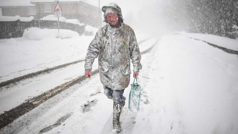
Bands of low pressure sweeping across the country make it “likely” that some areas of the UK could see snowfall in the coming days. That’s according to weather forecaster James Madden, LBC reported. He said that the highest chances of snow falling were mostly in the north, in Scotland.
Madden reportedly said the UK could see "even greater and more significant dumps of snow across higher ground in the north". He added that a white Christmas looked “increasingly likely”. The Exacta Weather forecaster said: “It is now increasingly likely that we will see at least 1-2 notable wintry blasts from late November and into the first half of December, but it may turn milder or much milder later".
Meanwhile the Met Office has predicted a wet and windy middle stretch to November. Much of the UK will “predominantly” see unsettled weather with showers and more prolonged rainfall and wind. Some parts of the far north will see less rainfall with temperatures remaining milder than average. Then, looking towards the end of the month and into December the Met Office predicted much of the same.
They said: “Unsettled conditions likely to dominate with further rain and showers for all regions. The heaviest and most frequent spells of wet weather are most likely in northern and western parts of the UK. Drier spells of weather do remain possible, albeit brief, these most likely to occur in the south.
 Gales, snow and rain to batter country today with 80mph wind gusts
If you can't see the poll, click here
“Here, some overnight patchy frost and fog is possible at times but, overall, the chance of widespread fog and frost is lower than normal. Temperatures generally on the mild side for the time of year, but possibly easing back close to, or locally below normal by early December, perhaps more especially in western and northern areas.”
As of last night, at the beginning of what’s set to be a rainy month, there are already ten flood warnings in place for England, where flooding is expected, and 50 flood alerts, where it’s possible.
Flood warnings in England:
Bersted on the Aldingbourne Rife
Curry Moor and Hay Moor
Felpham on the Aldingbourne Rife
Groundwater flooding for the South Winterbourne Valley
Groundwater flooding in the South Wiltshire Downs - The Dene
Outlying villages on the Bure, Ant and Thurne
 Weather maps forecast 750-mile blizzard dropping three inches of snow next week
River Derwent at Buttercrambe Mill
River Derwent at Stamford Bridge - The Weir Caravan Park and Kexby Bridge
Sandown, Brading and Bembridge on the Eastern Yar
The River Waveney from Diss to Bungay
UK weather forecast
Today:
A day of sunny spells and blustery showers, with some heavy and possibly thundery downpours with hail, these most frequent in the west. Drier with sunny spells further east, but feeling cooler than on Wednesday for most of us.
Tonight:
Showers continuing in the west, possibly merging into longer spells of rain at times, where also windy. Drier further inland with clear spells and patchy frost and fog possible.
Friday:
Sunny spells and scattered showers, these mainly in the north and west. Showers lighter and less frequent than on Thursday. Remaining breezy, but more sunny spells developing.
Read more similar news:
Comments:
comments powered by Disqus