Weather maps show 'mini heatwave' will make UK hotter than Spain next weekend
Weather maps show an expected 'mini heatwave' could make Britain hotter than Barcelona in the coming days.
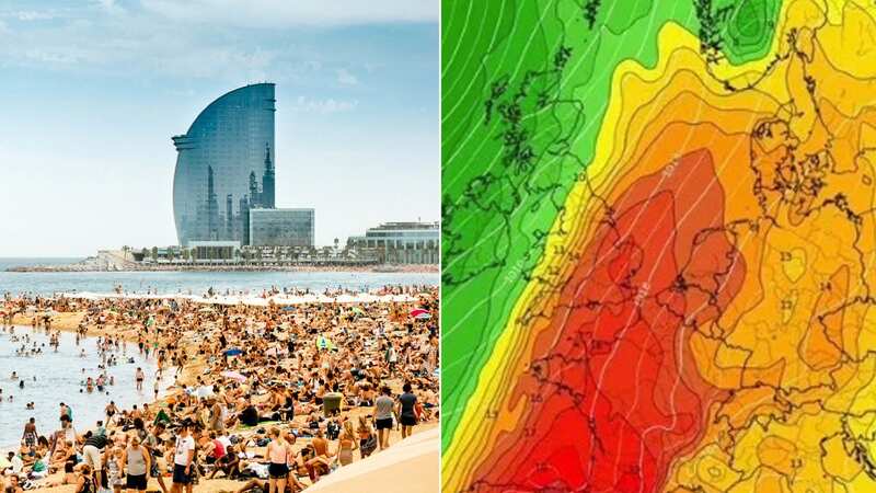
This month's mini heatwave could last a little longer than first expected, with balmy 25C temperatures on the cards for several days, putting the UK on a par with the Spanish holiday hotspot. Forecasts show the Catalonian city will bask in similar temperatures all week before they dip down slightly to 24C by the weekend (October 7 and 8).
Average October daytime temperatures in the UK usually sit around 13C, with the Met Office reporting they are likely to peak tomorrow, while forecasters are also predicting another climb next Saturday (October 7).
 Britain could hit 25C in the coming days (PA)
Despite some suggestion there would then be a drop off into the second week of the month, BBC charts seem to suggest the mercury will remain high for at least the next fortnight. They show recordings failing to dip below 19C in London up until Friday, October 13. And have next weekend reaching 23C on both days.
The Met Office long-range forecast - covering October 4-13 - also says: "Temperatures likely to be above average overall, perhaps very warm at times in the south, though some cool nights and chance of early fog."
 Gales, snow and rain to batter country today with 80mph wind gusts
Greg Dewhurst, senior operational meteorologist, previously said: "There are signs that if we get enough sunshine on Monday (details uncertain at this stage) we could see temperatures climb to around 25C in the southeast of England but then fresher air moving in soon after this."
Are you worried about unseasonal weather? Vote in our poll HERE to have your say.
He said it is possible south east England could see 25C. It stays mixed through the rest of this week, with temperatures generally above average and reaching the low twenties at times across southern parts of the UK. In the next week, the only significant rainfall is expected on Tuesday morning across North Wales, the Midlands, and Northwest England. It is a calm change to the turbulent rain and winds most of the UK experienced at the stark of this week, during which Storm Agnes threatened to cause chaos in parts.
The first named storm of the season drummed up a high of 79mph winds in Capel Curig, a village in Wales, on Wednesday evening. Elsewhere, winds were recorded reaching speeds of 68mph in Aberdaron, Wales, 58mph in Glenanne, Northern Ireland, and 54mph in Camborne, Cornwall.
 Temperatures in Barcelona may tail off by next weekend (Getty Images)
Agnes triggered a series of Met Office yellow weather warnings for wind and rain across the UK, with forecasts of damaging winds and stormy seas. Eleven domestic flights and several P&O Ferries services were cancelled between Northern Ireland and Scotland, according to The Independent.
A woman had to be rescued from her car in Co Londonderry, Northern Ireland, after it was trapped by floodwater. Temperatures peaked at 30.3C in an otherwise warm and humid September.
Read more similar news:
Comments:
comments powered by Disqus